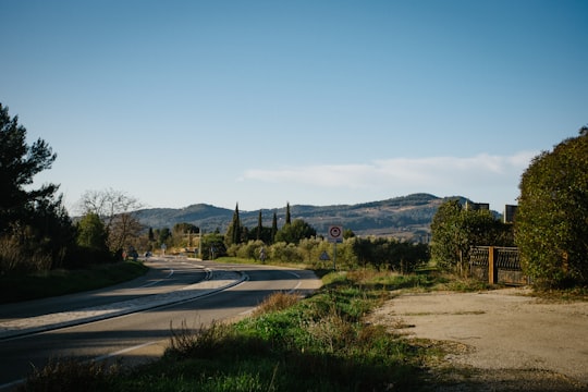
Travel Guide of Le Plan du Castellet in France by Influencers and Travelers
Le Castellet is a commune in the Var department of the Provence-Alpes-Côte d'Azur region in Southeastern France. It consists of a small feudal village perched on a cliff edge and its surroundings.
Download the Travel Map of France on Google Maps here
The Best Things to Do and Visit in Le Plan du Castellet
TRAVELERS TOP 10 :
- Bendor
- Le Beausset
- Boat Tours in Bandol
- Sanary-sur-Mer
- Toulon
- Sea Kayaking in La Ciotat
- La Ciotat
- Mont Faron
- Via Ferrata in La Ciotat
- Route des Crêtes
1 - Bendor
9 km away
Bendor Island is a French island in the Mediterranean Sea. It is located 300m off the coast from the commune of Bandol, in the Var department in the Provence-Alpes-Côte d'Azur region in south eastern France.
View on Google Maps Book this experience
2 - Le Beausset
Le Beausset is a commune in the Var department in the Provence-Alpes-Côte d'Azur region in southeastern France.
Learn more
3 - Boat Tours in Bandol
Accessible to all and ideal for exploring the French Riviera, this boat tour to the Calanques of Marseille and Cassis guarantees an unforgettable experience from Bandol! Aboard an environmentally-friendly solar-powered hybrid vessel, this guided crui...
Book this experience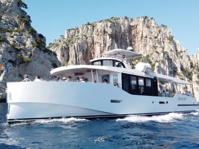
4 - Sanary-sur-Mer
7 km away
Sanary-sur-Mer is a commune in the Var department in the Provence-Alpes-Côte d'Azur region in southeastern France. It is located in coastal Provence on the Mediterranean Sea 13 km from Toulon and 49 km from Marseille.
Learn more
5 - Toulon
14 km away
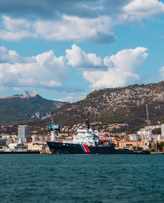
Toulon is a city on the French Riviera and a large port on the Mediterranean coast, with a major naval base. Located in the Provence-Alpes-Côte d'Azur region, Toulon is the capital of the Var department.
Learn more
6 - Sea Kayaking in La Ciotat
13 km away
Discover the Calanques of La Ciotat on a half or full-day guided sea kayaking excursion! Ecological and accessible, sea kayaking is an easy way to discover the Calanques of La Ciotat with family or friends. And with a qualified and passionate in...
Book this experience
7 - La Ciotat
14 km away
La Ciotat is a commune in the Bouches-du-Rhône department in the Provence-Alpes-Côte d'Azur region in southern France. It is part of the Aix-Marseille-Provence Metropolis.
Learn more

8 - Mont Faron
15 km away
Mont Faron is a mountain overlooking the city and roadstead of Toulon, France. It is 584m high. At its peak is a memorial dedicated to the 1944 Allied landings in Provence, and to the liberation of Toulon.
View on Google Maps Book this experience
9 - Via Ferrata in La Ciotat
15 km away
Guillaume Mottet has been a professional climbing instructor for many years, and will guide you safely up the most beautiful cliffs in southern Provence. This magnificent via cordata route in La Ciotat, accessible to all, will delight you if you'...
Book this experience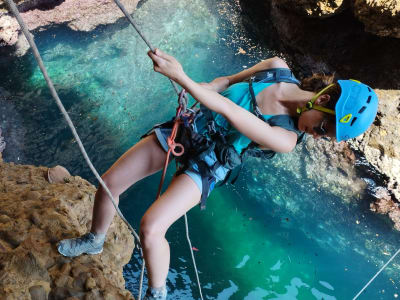
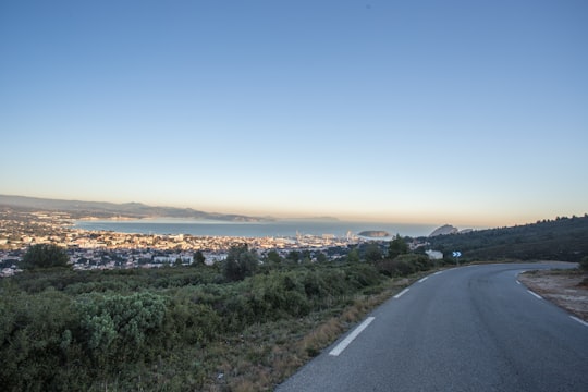
10 - Route des Crêtes
18 km away
Learn more
11 - Cassis
20 km away
Cassis is a commune situated east of Marseille in the department of Bouches-du-Rhône in the Provence-Alpes-Côte d'Azur region, whose coastline is known in English as the French Riviera, in Southern France. In 2016, it had a population of 7,265.
Learn more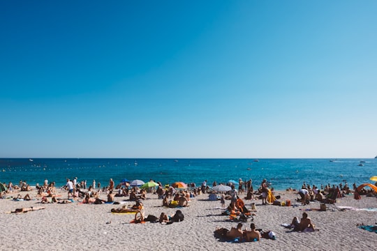

12 - Stand up Paddle in Cassis
6 km away
Start stand-up paddling in Saint-Cyr-sur-Mer with Quentin, in the beautiful Calanques National Park. Close to the Calanques of Marseille, Cassis and La Ciotat, Saint-Cyr-sur-Mer is a perfect place to take your first steps in stand-up paddle with H2O ...
Book this experience
13 - La Valette-du-Var
20 km away
La Valette-du-Var is a commune in the Var department in the Provence-Alpes-Côte d'Azur region in southeastern France.
Learn more
14 - Calanque de Sugiton
26 km away
The Calanque de Sugiton is one of the numerous Calanques located between Marseille and Cassis, France. While quite small, Sugiton is perhaps the most known of all Marseille Calanques, simply because it can be easily accessed by hikers, starting from Luminy University Campus, and because it is open to tourists even during hot season, unlike most Calanques.
View on Google Maps Book this experience
15 - Mountain bike in Gémenos
18 km away
Try out quadracycling from Gémenos to St. Baume, an original and safe downhill excursion in the Provence-Alpes-Côte d'Azur region with a certified instructor! Descente Evasion Provence offers you original downhill excursions aboard ...
Book this experience
16 - Calanque de Morgiou
27 km away
The Calanque de Morgiou is one of the biggest calanques located between Marseille and Cassis. Formerly a fishing port, it is famous for the gigantic tuna fishing organized there in 1622, when the king Louis XIII paid a visit to Marseille.
Learn more Book this experience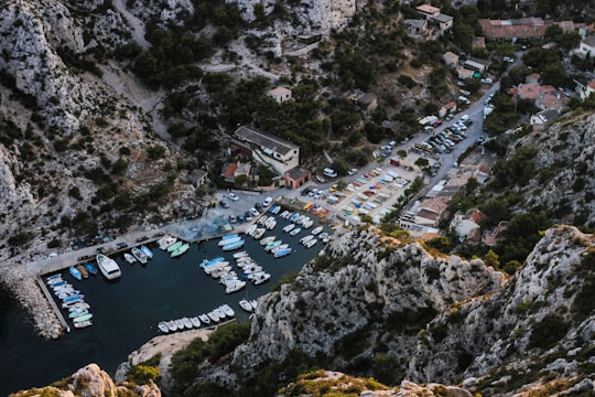
17 - Massif des Calanques
28 km away
The Massif des Calanques is a wild and rugged terrain stretching from the ninth arrondissement of Marseille to the east towards Cassis, spanning 20 km in length and 4 km in width along the coast. Its highest peak is Mont Puget at 565m. The area has been protected by a national park since 2012.
View on Google Maps Book this experience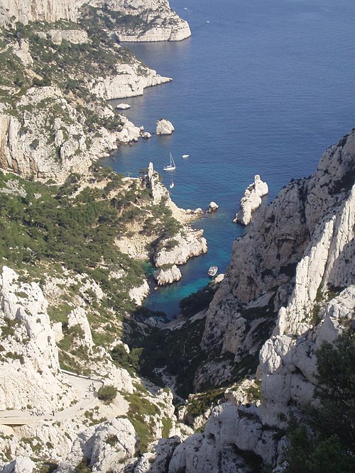
18 - Parc national des Calanques
28 km away
Learn more

Disover the best Instagram Spots around Le Plan du Castellet here
Book Tours and Activities in Le Plan du Castellet
Discover the best tours and activities around Le Plan du Castellet, France and book your travel experience today with our booking partners
Pictures and Stories of Le Plan du Castellet from Influencers
Picture from Jp Valery who have traveled to Le Plan du Castellet
Plan your trip in Le Plan du Castellet with AI 🤖 🗺
Roadtrips.ai is a AI powered trip planner that you can use to generate a customized trip itinerary for any destination in France in just one clickJust write your activities preferences, budget and number of days travelling and our artificial intelligence will do the rest for you
👉 Use the AI Trip Planner
Why should you visit Le Plan du Castellet ?
Travel to Le Plan du Castellet if you like:
⛰️ HighlandWhere to Stay in Le Plan du Castellet
Discover the best hotels around Le Plan du Castellet, France and book your stay today with our booking partner booking.com
More Travel spots to explore around Le Plan du Castellet
Click on the pictures to learn more about the places and to get directions
Discover more travel spots to explore around Le Plan du Castellet
⛰️ Highland spotsTravel map of Le Plan du Castellet
Explore popular touristic places around Le Plan du Castellet
Download On Google Maps 🗺️📲
